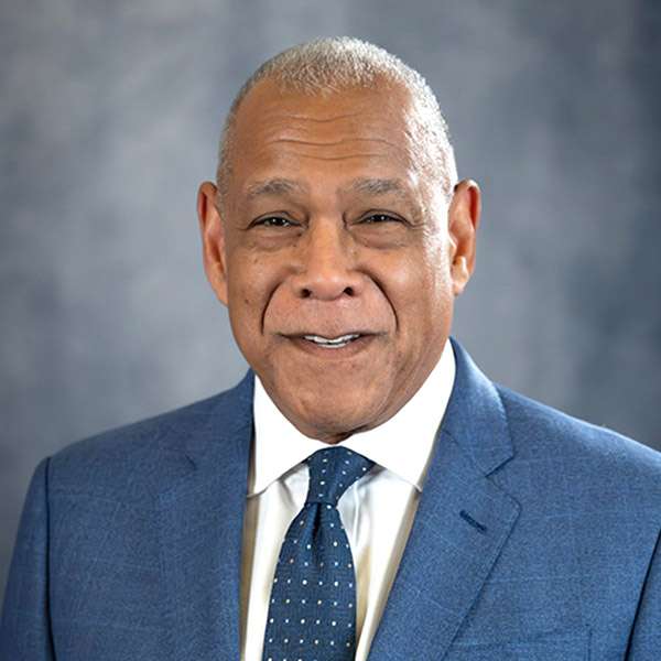
Your district
Drag to pan, and scroll or pinch to zoom. With the map focused, the arrow keys pan, + and - zoom, and 0 resets.
Pick your district on the map or in this list.

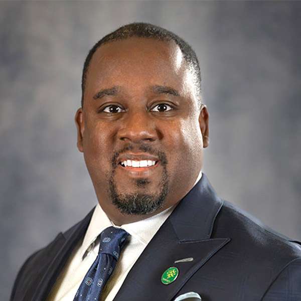


Elected by the whole city

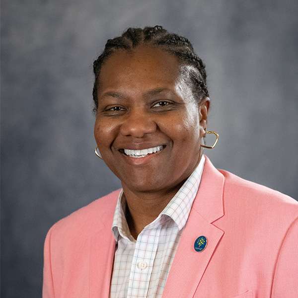

Not sure of your district?
This site cannot look up an address. That needs a live geocoding service, and this site makes no requests to other servers. The City's council page has its own address lookup: find your council member and district on raleighnc.gov (link checked by hand on Sep 28, 2026).
Sources
Names, seats, photos, email addresses and phone numbers are the City's, from its council page and each member's page. The photos are copied onto this site when the data is fetched. District boundaries are the City's boundary layer, drawn over OpenStreetMap water and roads.
Council members: as of Sep 28, 2026, 10:45 AM.
District boundaries: as of Sep 28, 2026, 6:43 AM.